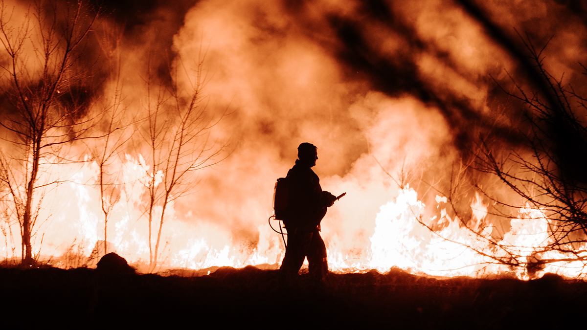
Fires can breakout for numerous reasons, and they can be difficult to predict.
Firefighters are currently battling California’s largest wildfire this year and, with a heat wave sweeping the state, concerns of further fires breaking out are growing. There have also been at least 20 homes destroyed in Texas after a wildfire spread to a residential area. And according to NBC News, wildfires have burned 5.6 million acres in the US this year alone.
Wildfires can ignite because of natural causes, and with climate change generating adverse weather such as drought and heat, as well as other factors like lightning and high winds, when the weather hits a barren patch of vegetation, it can cause a fire to breakout.
However, most fires are caused by either human intention or negligence – whether that’s arson or controlled blazes that aren’t properly extinguished. It only takes a tiny spark under the right conditions to cause big consequences.
The amount of land being affected by fires is rising year-on-year. So how can technology help?
Fire detecting technology
The Internet of Trees
This smart technology is an early warning system which uses sensors to detect a fire, the information is then transmitted to servers which process the data and then sends out fire warning alerts.
Its powerful algorithm learns and evolves from past information, which is constantly updated. It works by having internet-connected modules placed in forests, the modules then analyse changes to temperature and humidity, and compare that information with external weather sources to determine if there is a fire or not. If a fire is detected, a message is sent to key stakeholders.
Computer modelling
This technology uses simulation to recreate and study complex systems using mathematics, computer science and physics. It helps to assess the risks of fires before they start, and then it will further predict the path and growth of the blaze. This gives crews the opportunity to be utilised effectively and control a blaze from the best possible vantage point.
AI and camera technology
AI and camera technology uses high-definition cameras and artificial intelligence to scan particular areas for signs of fire. By utilising several algorithms, each searching for a specific property of a wildfire, they can determine if any smoke detected is caused by fire or if it is caused by a non-heat bearing effect, such as fog.
The technology looks for smoke or changes in thermal infrared data to detect if a fire has broken out. If the data agrees that there is a fire, the system alerts the emergency services, providing them with the fires coordinates, and directions on how to get to the affected area.
These devices can be accessed remotely, allowing decisions to be made in advance of front-line firefighters being deployed, giving them the best possible chance to reach key areas of a blaze before it spreads further.
Data-driven mapping software
This software inputs data gathered from the moisture levels of soil and vegetation to provide a visual map showing potential problem areas. This gives researchers a better chance to predict whether a fire will break out.
Algorithms can detect the probability of fires breaking out in certain areas by not only analysing moisture content and vegetation, but also by collecting meteorological data. Once the algorithm has assessed the likelihood of a fire, researchers and strategists are then alerted.
Other available data includes fire danger rating mapping, which uses past weather data to predict future behaviour.
Range mapping
Range mapping is used to evaluate a fire using sensing data. It enables emergency services to make decisions on whether to evacuate an area, and it identifies any possible damage that the fire will cause – helping to inform on the best way to mitigate damage.
FireMap
This technology uses real-time interface software, utilising artificial intelligence to predict the path of a fire within minutes, helping crews to decide on the best course of action to prevent further spreading.
It uses deep learning to make connections between infrared data, satellite maps, real-time weather information and other data to predict where the fire might spread. The software can also learn from past mistakes, and it is able to evolve in real-time with each piece of new data it collects.
Drones
Drones fly over a blaze and are especially useful at night where they can use heat imaging to map the fire’s boundaries and hot spots. Their satellite technology can also help plot the course of smoke and ash.
Drone and satellite imagery technology not only gives first-responders the information they need to fight fires, it also helps researchers utilise the tools they need to better predict and prevent fires in the future.
One of the reasons fires become so uncontrollable is because they are usually spotted when a person notices the smoke or flames. And by then hours, if not days, could have passed, meaning the teams on the ground are at a disadvantage before they’ve even started.
According to the World Health Organisation, wildfires have affected approx. 28,193 people worldwide a year. The World Wildlife Federation claims there are 340,000 premature deaths every year as a result of respiratory and cardiovascular issues attributed to wildfire smoke. Hopefully, in the future, the technology will be in a position to stop a fire before it has even started.
To check out more innovation stories visit our Communications page. You can also comment below or feel free to chat via our LinkedIn page.
Plus, IoT Insider’s sister publication Electronic Specifier has more innovation at its Products and Industries pages.